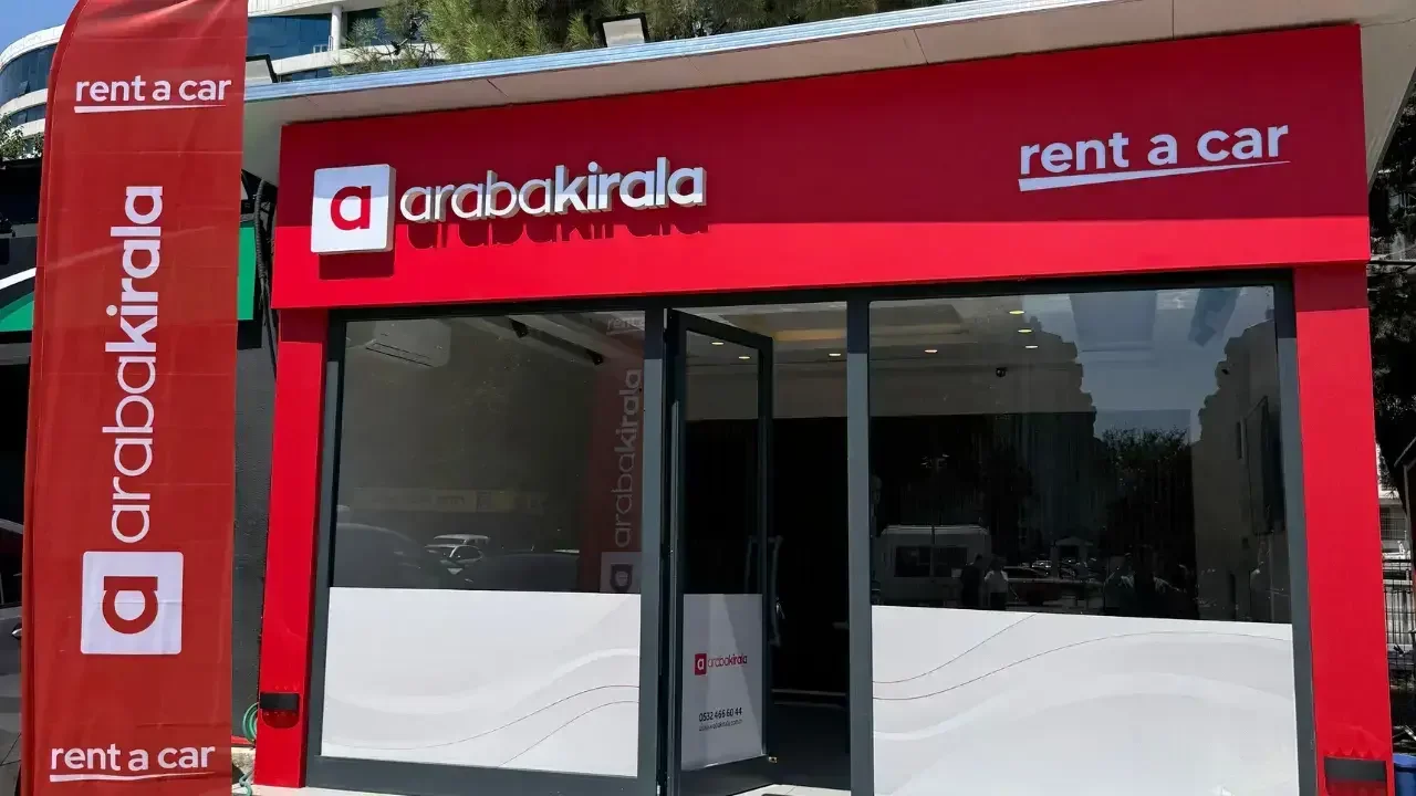
Planning Hills and Pickup Points When Renting a Car in Beylikdüzü
Published: October 19, 2026 • Reading Time: 7 min • Last Updated: October 19, 2026
Plan a Beylikdüzü car rental route by checking steep streets, safe stopping places, and your exact starting point. Use this practical guide to review the map, prepare for slopes, and clarify pickup details.
Contents
- Look beyond distance and travel time
- Break the route into sections
- Assessing hilly streets in Beylikdüzü
- Why inspect the first departure point?
- Prepare the car and yourself to drive
- Hill-start assistance and driving systems
- Include parking and the return journey
- A practical route-preparation checklist
- Summary: review the route before setting off
- Frequently Asked Questions
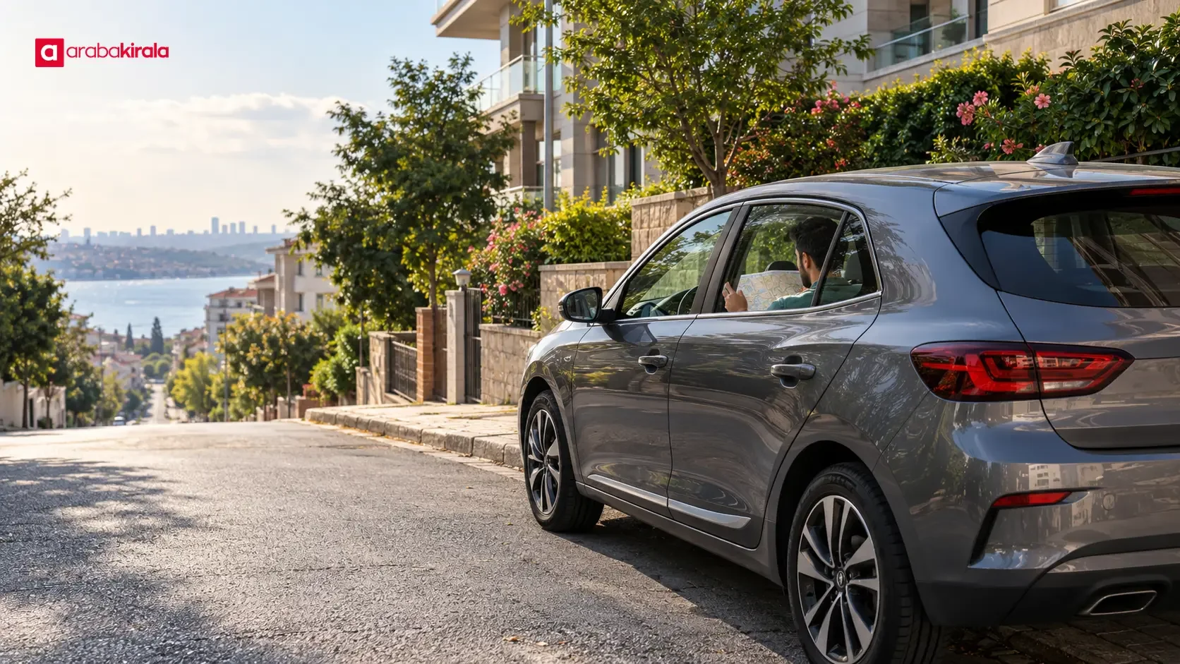
Planning a Beylikdüzü car rental route takes more than pinning your destination. Check where hills begin, where you will first move the car, where you can safely pause to review directions, and whether parking is practical at the other end. This guide explains how to inspect a route, approach sloping streets, and clarify the details that matter when collecting a rental car.
Look beyond distance and travel time
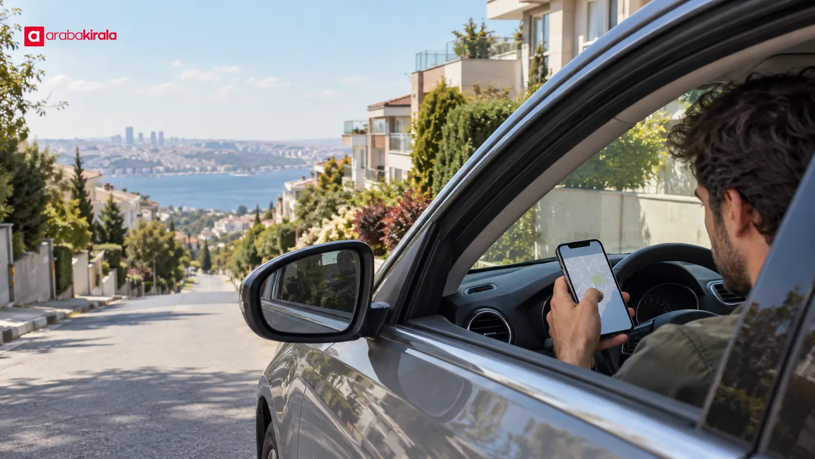
Map apps tend to emphasize estimated time and distance. A route that saves a few minutes in town may still include narrow streets, sharp turns, heavy curbside parking, or a pronounced slope. Compare route options and inspect the main roads, junctions, and final approach separately. Pay particular attention to the last few hundred metres: the trickiest part may be a short, sloping connection from an arterial road to a building or meeting point.
Zoom in to understand the street layout. The map can help you assess apparent width, turning angles, nearby parked vehicles, and alternative exits. Satellite imagery is not necessarily current, and it may not show temporary closures, construction, or changed parking rules. Treat the map as a planning aid, not as a substitute for road signs or sound driving decisions.
Break the route into sections
- Start: Mark the exact place where you will collect the car or begin the trip. Check the nearby main road and the street connecting to it.
- Along the way: Note sloping stretches, sharp turns, busy intersections, and narrow places where stopping may be difficult.
- Final approach: Check which direction provides access to your destination and whether safe, permitted parking is available nearby.
- Alternative: Identify another main-road option in case the primary route is busy or closed, so you are less likely to improvise a change on a hill.
Assessing hilly streets in Beylikdüzü
A slope affects visibility and timing as well as the car’s movement. When climbing, leave space from the vehicle ahead, accelerate smoothly, and account for sightlines as you approach an intersection. When descending, avoid unnecessary acceleration and adjust braking and following distance to the road, traffic, and weather. Slope alone does not determine whether a stretch is safe; surface condition, traffic, visibility, and vehicle load also matter.
If the map shows places where you may need to stop and move off again on a hill, approach without rushing. Watch the flow ahead and do not enter an intersection until there is a safe gap. Do not try to change the route on your phone while moving. If you need directions, stop in a safe and suitable place or set up voice guidance before departure.
Why inspect the first departure point?
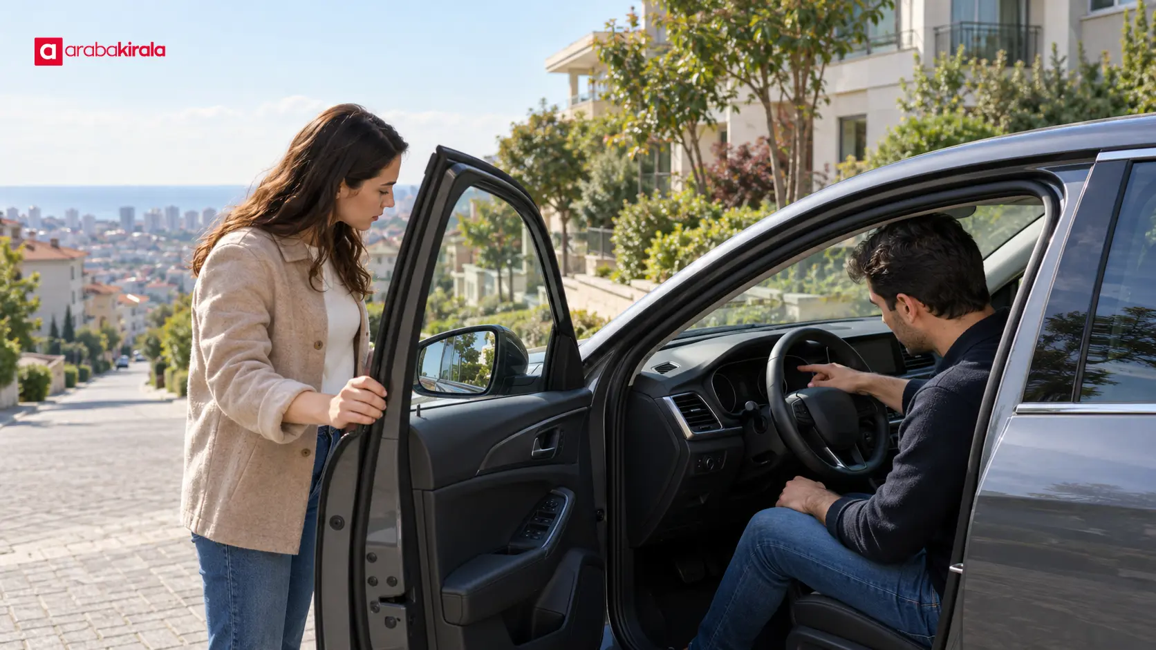
Leaving the pickup point is the trip’s first manoeuvre. If the car is parked on an incline, visibility, nearby vehicles, and the angle at which you join traffic all matter. Knowing in advance how the pickup location connects to a main road can reduce the pressure to make a rushed turn during the first few minutes. Review the exit on the map and check observable details: is the street one-way, is turning space limited, and does the hill begin immediately?
Ask the branch you will rent from for precise pickup directions before collection. A general map pin may mark an office without showing the entrance or parking area where the car is handed over. Ask where the vehicle will be collected, which way the exit leads, and whether there is a suitable nearby place for a brief stop or wait. These are location-specific details that cannot be inferred reliably from a map marker.
Prepare the car and yourself to drive
When planning a route with slopes, do not choose a vehicle solely by body style or luggage capacity. The number of passengers, the load, and the driver’s familiarity with the vehicle type also affect comfort. If you have limited experience with manual or automatic transmission, ask during reservation which type will be provided and request basic operating guidance. It is not sound to claim that one particular model will always perform better on hills; vehicle characteristics and road conditions need to be considered together.
At pickup, take a moment to understand the seat, mirrors, seat belts, and controls before moving. If a warning light appears on the dashboard, clarify its meaning rather than setting off with an unexplained warning. Check the exterior, the visible condition of the tyres, and the fuel or charge level. Recording existing damage and understanding the return location and process help you plan the trip. Ask the branch how vehicle checks and handover records are handled for your rental.
Hill-start assistance and driving systems
Some vehicles have driving aids that can help when moving off on an incline, but equipment and operation vary by vehicle. Do not assume a particular feature is present. Ask at handover whether hill-start assistance is fitted and what dashboard symbol indicates it; follow the owner’s manual for instructions. Such assistance does not remove the need for safe spacing, careful speed control, and appropriate gear selection.
Include parking and the return journey
Reaching the destination is not the only point where route decisions matter. Consider whether the car park exit is sloped, whether there is room to turn the vehicle around, and how busy the exit may be at the time you leave. If you plan to park on a street, follow the signs and local rules. A parking icon on a map does not guarantee a space will be available or suitable for your vehicle.
Review the return route independently instead of assuming it will work in reverse. One-way streets, roadworks, and traffic flow can make the outbound path unsuitable for the return. Include fuel or charging needs, the return time, and the entrance to the drop-off point in your plan. Return arrangements can depend on the branch and reservation; check your booking details and ask the office you will rent from about anything unclear.
A practical route-preparation checklist
- Pin the exact starting and destination locations on the map.
- Zoom in on the first exit street and the final approach to your destination.
- Note pronounced slopes, tight turns, and alternative main roads.
- Update your map before travelling and consider offline maps in case connectivity drops.
- Set up directions before departure so you do not need to handle your phone while driving.
- Confirm the precise pickup point, vehicle features, and return arrangements with the branch you will rent from.
- Complete the handover checks, adjust the seat and mirrors, and fasten your seat belt before moving.
Summary: review the route before setting off
For a more manageable drive on Beylikdüzü’s hilly streets, do not judge a route by time and distance alone. Consider the first exit from the pickup point, sloping stretches, the final approach, and the departure from your parking place. A map provides advance context; current signs, traffic, and weather should guide your decisions on the road. As a next step, open both pickup and destination on the map, confirm any location-specific details with the branch, and learn the vehicle controls before you drive away.
Frequently Asked Questions
What should I look for on a map when planning a hilly route in Beylikdüzü?
Look beyond the estimated time. Check where the slope begins, how narrow the street appears, the turn angles, and how the street joins a main road. Zooming in on the final approach can help you spot manoeuvres near your destination.
Can a map app show exactly how steep a street is?
Elevation information is not available for every app or street. Satellite or street imagery may help you understand the surroundings, but it does not guarantee a measured gradient or current road conditions. Make driving decisions based on safe conditions and follow signs on the road.
Why should I confirm the pickup location with the branch?
A map pin may show an office but not the entrance or parking area where the car is handed over. Confirming the exact meeting point and exit direction with the branch makes your starting point clear.
Does every rental car have hill-start assistance?
Vehicle equipment varies, so do not assume this feature is fitted in every car. Ask whether it is available in your vehicle and how it works; request guidance on dashboard indicators or the owner’s manual if needed.
Can I check directions on my phone while driving uphill?
Handling a phone while moving takes attention away from the road. Set the route before departure; if you need to change it, stop somewhere safe and suitable first. Treat voice guidance as one input alongside traffic and road signs.
Should I plan the return route and vehicle drop-off too?
Yes. One-way streets, traffic, fuel or charging needs, and the entrance to the return point may differ on the way back. Check the return details in your reservation and clarify location-specific questions with the branch you will rent from.
Legal Disclaimer: All content, articles and information on the Araba Kirala website are provided solely to inform users. No information shared on this website constitutes definitive advice or guidance. Araba Kirala Teknoloji A.Ş. and its authors cannot be held responsible for any direct or indirect damages arising from the application of information on the website. For all questions and requests regarding car rental, please contact the office from which you will rent your vehicle.