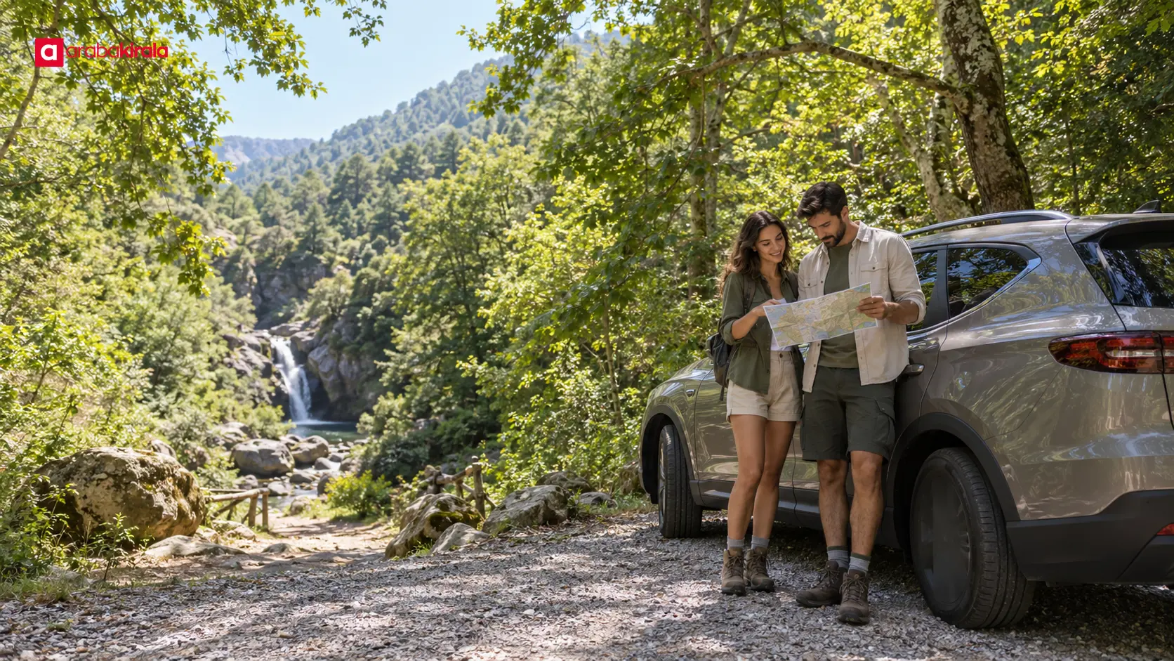
A Summer Road Trip to Waterfalls and Forest Stops in the Kaz Mountains
Published: October 8, 2026 • Reading Time: 7 min • Last Updated: October 8, 2026
A practical guide to planning a summer drive among the Kaz Mountains’ waterfalls and forest stops, with route, trail, safe driving, and nature care tips.
Contents
- How to build a summer route in the Kaz Mountains
- Plan for time and walking before mileage
- What to keep in mind at waterfalls and forest stops
- Prepare for the walk
- Road and driving plans for a car trip
- Making a summer day comfortable and useful
- A practical planning sequence
- Quick checklist before you go
- In summary: enjoy the Kaz Mountains with fewer, better-timed stops
- Frequently Asked Questions
Looking for Kaz Mountains places to visit in summer, especially waterfalls and cool forest stops? This guide helps you plan a realistic day by car, from choosing a route to allowing time for walking, breaks, and the return drive. The best plan considers road conditions and daylight as carefully as map distance, so you can enjoy a few well-chosen places without rushing through the landscape.
How to build a summer route in the Kaz Mountains
The Kaz Mountains cover a broad natural region, and points of interest are spread across valleys, villages, and wooded areas. A mountain outing is therefore not always one short, uninterrupted drive. Choose your start and finish points, identify one main stop, and include the walk from the vehicle in your timing. A short straight-line distance on a map does not necessarily mean a quick or easy drive.
Start with a theme: a waterfall walk, brief forest viewpoints, or a quieter route that combines a village visit with time outdoors. Add one or two nearby stops that fit the same direction. Check current access and parking information for each place using up-to-date maps and local sources. Some destinations require walking after you park, and the final approach may be narrow, rough, or seasonally restricted. For location-specific access details, contact the relevant local information point or the destination.
Plan for time and walking before mileage
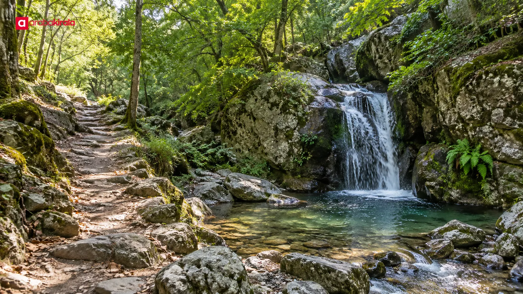
Driving is only one part of the day. Finding a place to park, getting ready, walking a trail, taking a break, and returning all take time. A path down to a waterfall can look short on a map but still be steep or slippery. Set a pace that suits your group and leave enough daylight for the return. One main stop with a short nearby walk can be more rewarding than trying to cover many scattered places.
What to keep in mind at waterfalls and forest stops
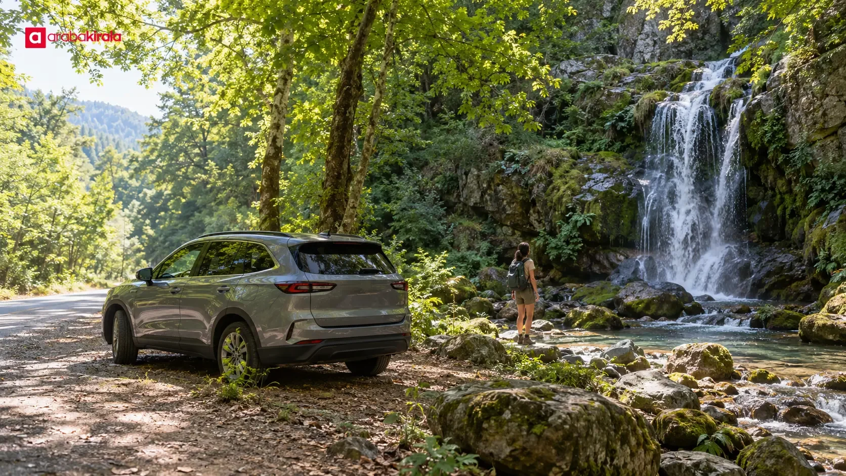
Ground near a waterfall can be wet and slippery. Entering the water, climbing rocks, or approaching a fast-moving channel may be unsafe; follow posted warnings and local guidance. Take photos from firm ground rather than edging toward a drop. Leaving the path can increase the chance of injury and damage sensitive plants.
In wooded areas, fire risk from cigarettes and open flames deserves extra care during hot, dry weather. Follow local fire restrictions and warnings, and do not leave cigarette ends, glass, or rubbish behind. Food scraps can affect wildlife, so carry waste with you until you can dispose of it properly. Keeping noise down and not feeding animals makes the forest more peaceful for other visitors and the local wildlife.
Prepare for the walk
- Wear closed shoes with good grip; open sandals may be unsuitable around a waterfall.
- Bring drinking water, sun protection, and any personal items you need.
- Check your phone battery and offline map access before setting out; reception can be limited in forests.
- Stay on marked paths and shorten the route if weather or ground conditions change.
- If walking as a group, agree on a meeting point and make sure nobody is left behind.
Road and driving plans for a car trip
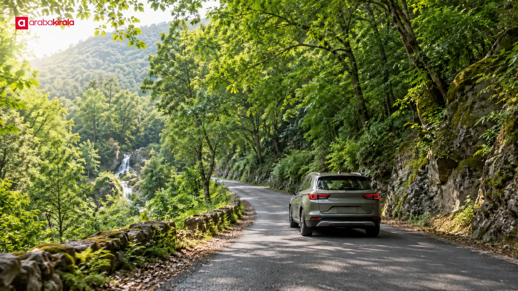
Mountain and forest roads can include bends, gradients, narrow sections, and limited sightlines, all of which can slow a journey. Check current route conditions and do not assume every shortcut suggested by navigation is suitable. Before entering an unpaved or gravel section, consider both the road and the vehicle. If uncertain, stay on a safer, well-known route.
Approach bends at a controlled speed, leave a safe following distance, and expect oncoming traffic. Do not stop where the vehicle blocks visibility or narrows the road. Follow parking signs at waterfall and forest entrances; do not drive onto private property or sensitive natural areas. If there is no safe place to park, choose another stop rather than forcing a roadside halt.
If you are using a rental car, it helps to learn the fuel type, basic controls, and any driver assistance features when collecting it. Recording the odometer and the vehicle’s visible condition at pickup and return makes it easier to compare trip records. Ask the branch where you will rent about any route, mileage, or additional driver details specific to your booking; these can vary by vehicle and service.
Making a summer day comfortable and useful
In summer heat, walking earlier or later in the day can reduce time under strong sun. Weather and temperatures can still change across a short distance in a mountainous area. Check the latest forecast, consider the chance of sudden rain, and take account of trail conditions. The cool air near a waterfall does not remove the need for sun protection or drinking water.
Choose a departure time that leaves room for the return drive and daylight. If you spend longer than planned at the first stop, be ready to drop the next one. That flexibility reduces pressure to drive quickly or continue on unfamiliar roads after dark. Before leaving, check the fuel level and look for obvious tire issues. If a warning light appears, follow the owner’s manual and the rental branch’s instructions.
A practical planning sequence
- Choose a main waterfall or forest stop and confirm access and walking information.
- Review the route, mark a return option, and identify safe places to pause.
- Set out in the morning and visit the main stop on foot if weather and ground conditions allow.
- Take a meal and rest break at a place with suitable access.
- Add a nearby second stop only if time and energy remain; otherwise begin the return.
Quick checklist before you go
- Current access details for the route and planned stops
- Forecast, walking time, and available daylight
- Safe parking and road suitability for the vehicle
- Water, suitable footwear, and sun or rain protection
- Phone charge, offline maps, and emergency contact information
- Booking and use details to confirm with the rental branch
In summary: enjoy the Kaz Mountains with fewer, better-timed stops
A good summer drive in the Kaz Mountains is not about collecting the largest number of stops; it is about reaching selected places safely and giving them enough time. Choose a main waterfall or forest destination, check the road and trail conditions, and include breaks and the return journey in your schedule. Respect natural area guidance, take care on slippery ground, and avoid rushing behind the wheel. Your next step is to verify current access information for your planned stops and ask the rental branch about any booking-specific details before collecting the car.
Frequently Asked Questions
What shoes should I wear for a waterfall visit in the Kaz Mountains?
Choose closed walking shoes with a non-slip sole. Open sandals offer less protection and stability on muddy or rocky trails. Check the current ground conditions for the specific route as well.
How many stops should I plan in one day?
That depends on your starting point, road conditions, and how much walking each stop requires. One main destination and a nearby short second stop is often a more realistic outline. Do not use map distance alone to estimate the day.
Is it safe to swim or enter the water at a waterfall?
Not every waterfall is suitable for swimming. Currents, depth, slippery rocks, and cold water can create hazards. Follow local warnings and do not enter water unless you know the conditions are safe.
Is a navigation app enough for forest roads?
Navigation can help with directions, but it cannot guarantee that a road is open, safe, or suitable for your vehicle. Prepare an offline map and check local access information too.
What should I confirm before taking a rental car into a mountainous area?
Ask the branch where you will rent about any vehicle use restrictions, mileage or road conditions, fuel type, and what to do if you need assistance. Familiarizing yourself with the controls at pickup can also make the drive easier.
Legal Disclaimer: All content, articles and information on the Araba Kirala website are provided solely to inform users. No information shared on this website constitutes definitive advice or guidance. Araba Kirala Teknoloji A.Ş. and its authors cannot be held responsible for any direct or indirect damages arising from the application of information on the website. For all questions and requests regarding car rental, please contact the office from which you will rent your vehicle.