
Planning a Nature Trip by Season: Trail Surfaces, Daylight and Visitor Preparation
Published: October 14, 2026 • Reading Time: 7 min • Last Updated: October 14, 2026
Plan a nature outing around seasonal trail conditions, daylight, weather and the needs of your group, with practical safety and transport guidance.
Contents
- Start with the route and the needs of your group
- How trail surfaces change through the seasons
- Spring: mud and water crossings
- Summer: heat, dust and exposed sections
- Autumn: leaf cover and changing weather
- Winter: ice and earlier darkness
- Build daylight into the schedule
- Seasonal preparation and safe use
- Plan how you will get there and back
- A quick pre-trip checklist
- Summary and next step
- Frequently Asked Questions
Planning a nature trip by season involves more than checking the forecast and packing a bag. This guide explains how trail surfaces change through the year, how daylight affects walking times, and how to prepare for the people in your group. Considering the route, the group’s experience and the journey to and from the trail together makes it easier to build a practical plan.
Start with the route and the needs of your group
Distance alone does not show how demanding a trail will be. Elevation, steep sections, surface conditions, continuity of marked paths and places to rest all matter. A short steep route can take more effort than a longer, flatter one. Check route information and current notices from the park authority, national park or relevant public agency where available. Seasonal closures, fire notices, maintenance work and weather warnings should inform your choice.
Plan for the pace of the slowest member of the group. If children, older adults or people with limited mobility are joining, look closely at the surface, slope, shade and rest opportunities. Discuss the start and finish points, expected walking time and return options before setting out. Do not assume that everyone has the same fitness or trail experience.
How trail surfaces change through the seasons
Spring: mud and water crossings
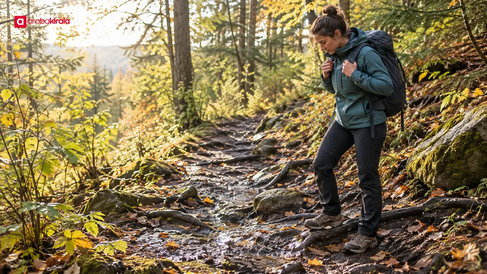
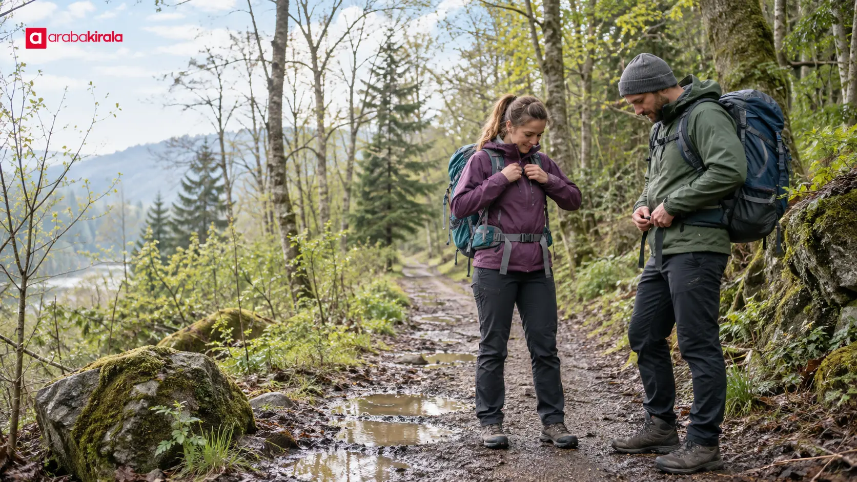
After rain, dirt paths can soften, while rocks and exposed roots may become slippery. The depth of a puddle and the ground underneath may be hard to judge. If a crossing does not appear safe, do not force it; stay on the marked route and turn back or choose another way. Shoes suited to the surface and quick-drying layers can help. Stepping off the path can widen muddy sections and damage plants, so use established firm passages where possible.
Summer: heat, dust and exposed sections
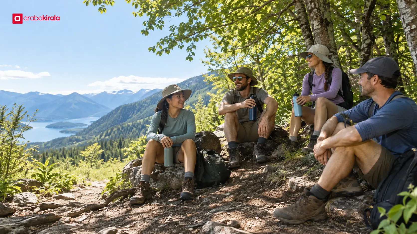
Dry trails can be dusty, and loose gravel may shift underfoot, particularly on descents. Long stretches in direct sun increase heat exposure. Do not assume that shade or water sources shown on a map will be available; seasonal sources can dry up. Starting during a cooler part of the day, resting in shaded places and drinking regularly can make the outing more manageable. If you feel weak or develop signs of heat stress, slow down, rest somewhere cool and end the walk if needed.
Autumn: leaf cover and changing weather
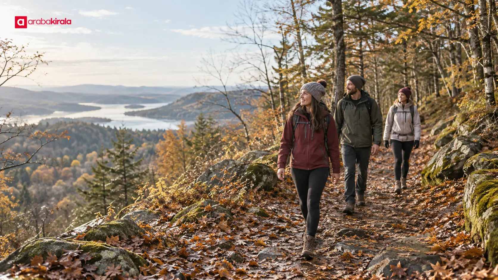
Leaves can hide rocks, roots and shallow holes; wet leaves can be slippery. Shorter steps and attention to the surface help reduce missteps. Temperatures can fall or rain can begin during the day. A light rain layer, a dry spare layer and footwear with a suitable tread help you adjust. Reconsider exposed ridge, coastal or high routes when wind rises or visibility falls.
Winter: ice and earlier darkness
Frost, ice, snow and low temperatures can substantially change a walk. A route that is easy in summer may become slippery, closed or difficult to follow in winter. Avoid terrain beyond your experience; without suitable equipment and skills, choose a shorter, accessible route. Check weather and trail notices, account for shorter daylight and leave enough time to return. If visibility worsens or the surface feels unsafe, choose a safe return instead of continuing.
Build daylight into the schedule
Sunrise and sunset times vary with season and location. Do not estimate a walk only from the kilometres shown on a map: slope, surface, group pace, breaks and photo stops can all add time. Starting the return before your planned finish is especially useful on short winter days. Allow time to reach the trailhead, park and return to your vehicle or public transport as well.
If you use a phone map, download route information in advance and check the battery, but avoid relying on a phone as your only navigation tool. Tell someone you trust where you plan to walk. That information can help others understand your intended route if you are delayed. Walking after dark requires appropriate lighting and experience; do not reach sunset on the trail without preparation.
Seasonal preparation and safe use
Layered clothing helps manage warmth during movement and comfort when you stop. A basic preparation list may include footwear suited to the surface, an outer layer for the weather, enough drinking water, food for personal needs, sun protection and basic first aid supplies. What you need depends on walk length, weather and group composition. Avoid adding unnecessary weight, while keeping essentials in your pack.
Follow official signs and park rules. Check local notices for rules about fires, camping and bringing pets. Keep a respectful distance from wildlife and do not feed animals. Carry your rubbish out and avoid picking plants. These choices help protect the area and preserve the experience for other visitors.
Plan how you will get there and back
Consider public transport, access to the trailhead and driving options when choosing a route. If you are considering a rental car, confirm vehicle suitability, luggage space and pick-up and return details with the branch handling your reservation. Use the park’s official information to check parking, the condition of the final road section and any vehicle restrictions within the area. Do not assume every trailhead has nearby parking or that vehicles are allowed on every access road.
If you will drive after the outing, include fatigue in the plan. Rest after a long walk, share driving with another eligible driver where appropriate, or set an earlier return time. The transport plan should cover how you will leave the area if weather changes or the walk ends earlier than expected, as well as how you will arrive.
A quick pre-trip checklist
- Check current notices and confirm the route is open and appropriate.
- Assess surface, elevation and daylight in relation to your group’s pace.
- Choose clothing, water and food based on the forecast and trip length.
- Share your route, starting point and expected return with someone you trust.
- Confirm transport, parking and return options.
- Be ready to shorten the plan or turn back if conditions change.
Summary and next step
A sound nature-trip plan considers season, trail surface, daylight, group ability and transport together. First confirm through the official area information that the route is open and suitable. Then leave time between the expected walk and available daylight, and prepare for the surface you are likely to encounter. As a next step, review current notices for your chosen trail, discuss the group’s needs and settle the transport plan from departure through return.
Frequently Asked Questions
Which season is best for a nature walk?
It depends on the route, current weather and the group’s experience. Spring and autumn may bring milder days, but rain, mud and wet leaves can make trails harder to walk. Summer requires attention to heat, while winter brings possible ice and shorter daylight. Assess the conditions on the day rather than choosing by season alone.
How can I estimate how long a trail will take?
Consider elevation, surface, group pace and breaks alongside distance. If an official trail source gives an estimated time, treat it as a starting point because individual conditions vary. Leave a margin for the return and unexpected delays.
Should I cancel a walk if rain is forecast?
Rain does not make every walk impossible, but heavy rain, lightning, flood risk, poor visibility or steep slippery ground can make a plan unsafe. Check official warnings. If you lack the experience or equipment for the conditions, postpone the outing or choose an easier route.
How much water should I bring?
Needs vary with temperature, duration, effort and individual circumstances, so a single amount will not suit everyone. Do not include a spring or stream in your plan unless its reliability has been confirmed. In hot weather, think carefully about water access and rest breaks.
Why tell someone my route?
Sharing your start point, intended route and expected return gives someone information about where you planned to be if you are unexpectedly delayed. Update them if the plan changes. This does not guarantee mobile coverage or a particular response time.
What should I confirm before driving to a nature area?
Check the parking location, access conditions, the final road section and return options using official information for the area. If using a rental vehicle, ask the branch handling your reservation about vehicle suitability and pick-up and return details. Do not assume every trailhead has parking or road access.
Legal Disclaimer: All content, articles and information on the Araba Kirala website are provided solely to inform users. No information shared on this website constitutes definitive advice or guidance. Araba Kirala Teknoloji A.Ş. and its authors cannot be held responsible for any direct or indirect damages arising from the application of information on the website. For all questions and requests regarding car rental, please contact the office from which you will rent your vehicle.