How to Pin the Correct Side of Your Destination in Istanbul Car Rental Navigation
Published: November 6, 2026 • Reading Time: 7 min • Last Updated: November 6, 2026 • Author: Merve B.
A practical guide to checking the right entrance, road side, route approach and safe arrival when using navigation with a rental car in Istanbul.
Contents
- Why can a correct address still lead to the wrong side?
- Verify the destination before driving
- Check the address, property and entrance separately
- Move the pin from the building center to an accessible entrance
- Read the route to see whether it ends on the right side
- Review the final turns and direction of arrival
- Account for bridges, tunnels and connecting roads
- Use navigation safely while driving
- Quick checklist for an Istanbul car rental navigation destination
- Summary: set the right target and choose a safe next step
- Frequently Asked Questions
- Related Articles
Istanbul car rental navigation destination planning involves more than entering a correct street address. Check which entrance the map pin refers to, which side of the road it sits on, and how the final route reaches it. This guide explains how to verify the address, place or refine a pin, review the approach and use navigation safely, helping reduce last minute lane changes and unsuitable stops.
Why can a correct address still lead to the wrong side?
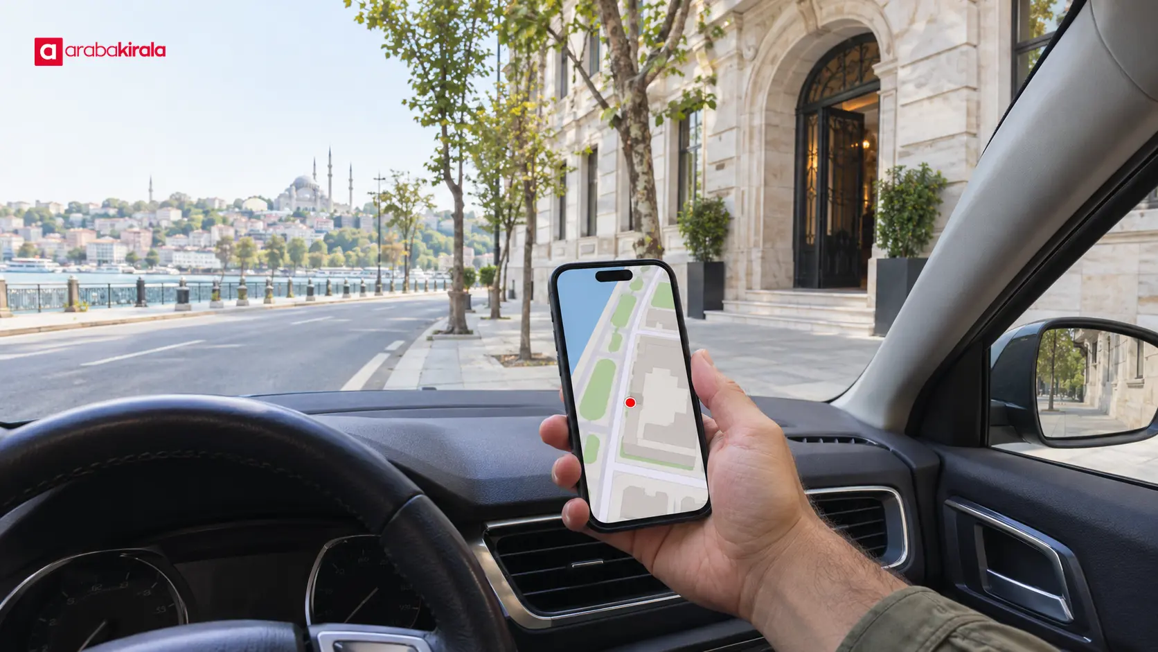
Map results often place a destination near the center of a building or property. The usable vehicle entrance may be on another street, along a service road or across a divided carriageway. Large sites can also have separate pedestrian, parking and vehicle entrances. A map pin can therefore identify the right property while still directing a driver toward the wrong gate.
Istanbul’s layered road network makes this distinction especially important. Two roads that look close on a flat map may be separated by a median, barrier, one way system, bridge ramp or underpass. The route may not allow a direct crossing. Before setting off, check both the destination point and the final roads that connect to it.
Verify the destination before driving
Check the address, property and entrance separately
Confirm the city, district, neighborhood, street and building number. Then check any block, gate or facility detail. Searching only for a business or venue name can return a similarly named result, so open the result card and review its address. This is a simple way to catch a misplaced destination before the trip begins.
For a hotel, hospital, shopping center or large residential site, identify the vehicle entrance in advance. A visitor entrance, loading area and parking entrance may be at different points. If traveling to a rental pickup or return location, compare the location information in your reservation with the map. Ask the relevant branch to clarify its approach or entrance when that location specific detail is unclear.
Move the pin from the building center to an accessible entrance
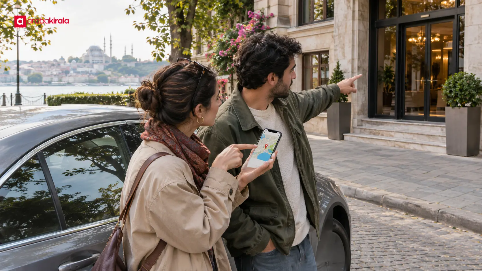
After selecting the destination, zoom in and inspect the streets around the pin. If the app allows it, move the pin to the vehicle entrance or a suitable point on the approach road. If moving the pin is not available, setting the accessible street as an intermediate destination can help guide the final approach.
Use satellite or street level views, when available, to understand where entrances and roads appear. Those views can help with orientation but do not prove that access is currently open or unrestricted. If the map suggests a closed entrance, roadwork or access restriction, choose another safe approach and verify the information where needed.
Read the route to see whether it ends on the right side
Review the final turns and direction of arrival
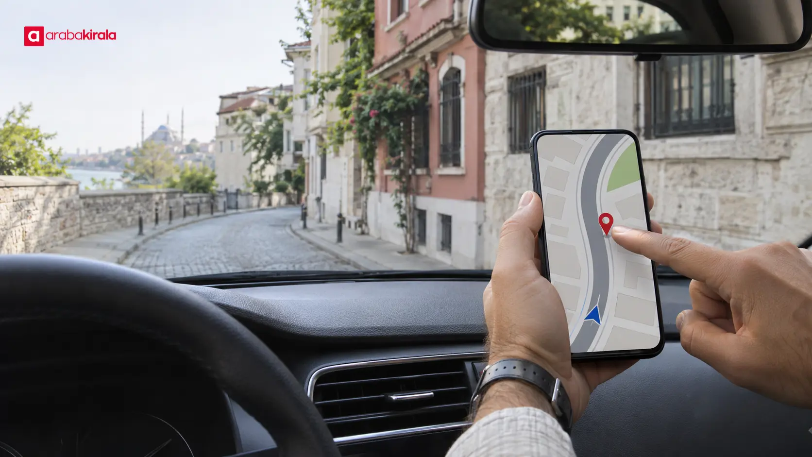
Open the route preview before moving and inspect the last few turns. Notice which street you will use, the direction of travel and which side the destination will be on. If the pin appears across a divided road or on the opposite side of a median, try an alternate route or move the target to the correct entrance.
A route line on a screen does not always mean a car can drive all the way to a door. A pedestrian path, internal walkway, stairway or road closed to vehicles may appear close to the destination. If the route leads to a road where vehicles cannot enter, do not follow it into an unsuitable area; identify the vehicle access road instead.
Account for bridges, tunnels and connecting roads
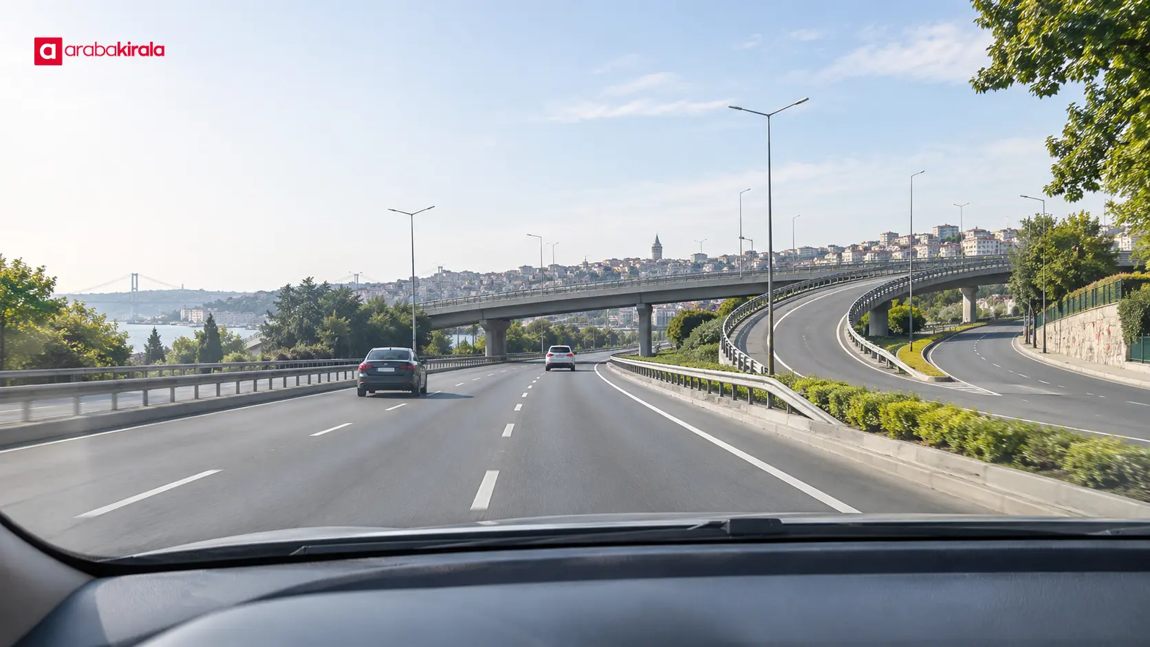
At bridges, underpasses, tunnels, viaducts and multi level interchanges, a two dimensional map can make arrival direction hard to judge. A point may appear only a short distance away while reaching it requires a turn at a different junction. Pay attention to the connecting roads and the direction of arrival, rather than judging by the pin’s apparent closeness.
If the navigation app recalculates during the drive, do not make an abrupt change based on the screen alone. Follow road signs and stay attentive to traffic and your lane. If a turn is missed, let the system find a safe next turn or turnaround point instead of correcting it with a risky maneuver.
Use navigation safely while driving
Set the destination and review the route before moving. Looking at a screen for a long time, holding a phone or changing lanes at the last moment takes attention away from driving. Secure the phone where it does not obstruct your view or vehicle controls. Treat voice directions as guidance and check them against road signs and traffic conditions.
As you approach, avoid sudden braking or turning that disrupts traffic. If you discover that the destination is on the other side, continue until there is a safe and permitted place to stop or turn; let navigation calculate a new route. If you need to stop, use a location where stopping is safe and allowed. When unsure about an entrance or parking area, park safely before checking the map again.
Quick checklist for an Istanbul car rental navigation destination
- Confirm the district, neighborhood, street and building number.
- Identify whether the target is a vehicle, pedestrian or parking entrance.
- Zoom in and distinguish the main road from side and service roads.
- Preview the last turns and the direction from which the route arrives.
- Account for bridges, tunnels, medians and one way streets.
- Position the phone and set voice guidance before setting off.
- If the approach is wrong, choose a safe new route instead of a sudden maneuver.
Summary: set the right target and choose a safe next step
Pinning a destination in Istanbul takes more than selecting the right address. Identify the vehicle entrance, place the pin at an accessible point and check that the route reaches it from the correct side of the road. A route preview is especially useful around elevated roads and large properties, where a nearby pin may not correspond to a direct vehicle approach.
Before driving, verify the address and entrance, inspect the final part of the route and secure your phone. If a rental pickup or return point has a branch specific gate or approach, confirm that detail with the relevant branch. When the route is uncertain, choose a safe place to reassess and then follow a suitable route.
Frequently Asked Questions
The pin shows the right building, but the route ends on the opposite side. What should I do?
Find the vehicle entrance and identify the street that serves it. Move the pin to that entrance if the app permits, or use the accessible street as an intermediate stop. Review the final turns again and account for a median or one way traffic pattern.
What should I do if navigation says I have arrived but I cannot see the entrance?
Do not stop abruptly at the roadside. Find a safe, permitted place to park, then check the address, pin and surrounding streets. A large property may have a vehicle entrance separate from its pedestrian gate; confirm the location information with the facility or relevant branch if necessary.
Why do bridges and underpasses affect routes in Istanbul?
Nearby points on a map may be on different levels or separated roadways. A ramp, barrier, tunnel or interchange can prevent direct access. Check the route’s connecting roads and arrival direction, not only the apparent distance to the pin.
Can I change the destination while driving?
Correct it before setting off whenever possible. If a change becomes necessary, do not handle the phone while driving. Stop somewhere safe first, then select the new address or pin. This reduces distraction and the pressure to make a last second maneuver.
What if a rental pickup or return location is unclear on the map?
Compare the reservation details with the map marker. If there are several entrances or buildings in the area, ask the relevant rental branch to clarify the correct approach. Verifying that location specific information is more reliable than depending only on a general map result.
Related Articles
- Istanbul Car Rental Route Planning: Live Traffic and ETA
- Renting a Car for an Istanbul Event: Arrival and Parking Plan
- Accessibility Planning for Car Rentals in Istanbul
Legal Disclaimer: All content, articles and information on the Araba Kirala website are provided solely to inform users. No information shared on this website constitutes definitive advice or guidance. Araba Kirala Teknoloji A.Ş. and its authors cannot be held responsible for any direct or indirect damages arising from the application of information on the website. For all questions and requests regarding car rental, please contact the office from which you will rent your vehicle.
 Add ArabaKirala as a preferred source on Google