Highland Trip Planning: Roads, Weather and Hiking Preparation
Published: November 3, 2026 • Reading Time: 8 min • Last Updated: November 3, 2026 • Author: Merve B.
A practical guide to highland trip planning: check local access notices, prepare for the drive, choose a suitable walking route, and pack for changing mountain weather.
Contents
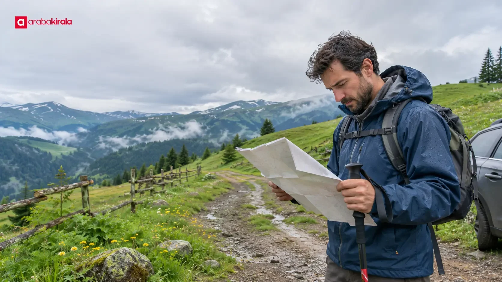
Highland trip planning involves more than picking a scenic destination. This guide explains how to check local access information, prepare for the drive, choose a walking route that fits your group, and pack for mountain weather that can change quickly. A useful plan combines current road information, realistic timing, and a clear option to turn back or change course when conditions call for it.
Verify access before setting out
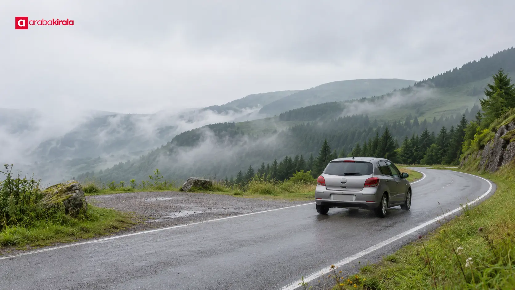
Road access to highland areas can vary by location, season, and current conditions. Seeing a route in a map app does not confirm that it is open or suitable on the day of your visit. Close to your travel date, review notices from local authorities, the agencies responsible for roads, and other relevant official bodies. Maintenance work, weather events, or local developments can change access information at short notice.
Check the date and scope of each notice. Confirm which road section it covers and whether any instruction applies only to certain vehicles or times. If the wording is unclear, contact the responsible local office for clarification. A social media post can be a useful lead, but do not treat it as final confirmation when the original notice or responsible authority is available.
When choosing a route, consider fuel or charging needs, rest stops, phone coverage, and the time needed to return. Saving a map for offline use can help with navigation, but an offline map cannot tell you whether a road is open. Current information about the final stretch, its surface, and available room to maneuver can help you decide whether the route suits your vehicle and plans.
Prepare for the drive and the vehicle
Do not plan the drive solely around a map app’s estimated time. Narrow, winding, or steep sections, reduced visibility, and rest breaks can all affect progress. Leave a time buffer before sunset and plan the return as carefully as the outward journey. Decide in advance how you will shorten or change the day if the walk takes longer than expected or weather worsens.
If you are using a rental vehicle, ask the branch you will rent from whether your intended route is appropriate for the vehicle. Clarify whether the final section has access, surface, or use conditions that matter. You can also confirm service-specific details such as what equipment is supplied, what roadside assistance covers, and how to get help if the vehicle has a problem. These details may vary by branch, vehicle, or reservation, so do not assume a universal rule.
At pickup, review the existing handover documents and record visible damage with the staff member. The fuel level and odometer reading are practical details for comparing pickup and return records. Check your booking documents and agreement for specifics such as return time and location, fuel arrangements, and how to request support during the trip. Ask for an explanation of any term you do not understand before leaving.
If you notice an obvious tire problem, a warning light, or anything that affects safe operation before departure, stop in a safe place and tell the branch. Find out what emergency equipment is in the vehicle and which number to call for support. If you need navigation on a phone, secure the device and set the route before driving. Keep your attention on the road while the vehicle is moving.
Choose a walk that fits your group and conditions
A trail that looks short is not necessarily easy. Consider elevation gain, gradient, surface, waymarking, access to the trailhead, and current trail conditions together. For people new to hiking, reviewing total ascent alongside distance and estimated time gives a more realistic picture than distance alone. Check the date of any official or local route information when it is provided.
Set the pace around the slowest member of the group. Allow time for regular breaks, navigation, views, and the return journey. If the route starts and ends in different places, arrange return transport in advance. If trail markers disappear or the route becomes unclear, return to a known safe path instead of pressing on. Unfamiliar shortcuts can make it easier to lose your way, especially in fog or poor visibility.
Before starting, tell someone you trust where you are going and when you expect to return. Preserve phone battery by closing unnecessary apps, save a map for offline access, and carry a power source for emergency communication. Phone service may not work everywhere, so do not treat a phone as your entire navigation plan. Agree on basic navigation and regrouping arrangements with the people in your party.
Dress for mountain weather and pack thoughtfully
Weather in highland and mountain areas can feel different from the forecast for a nearby town. Elevation, wind, precipitation, and cloud cover affect conditions and how cold it feels. Check the current forecast from the Turkish State Meteorological Service for the day of your trip, and pay attention to the location and elevation it covers. Reviewing it before departure and again before the walk helps you adapt when conditions change.
Layered clothing makes it easier to respond to shifts in temperature. Consider a base layer that helps manage moisture, an insulating middle layer, and an outer layer that protects against wind or rain. Clothing that stays wet or dries slowly can become uncomfortable during a long walk. Choose footwear for the trail surface, and avoid taking shoes on a long route if the soles are worn or they rub your feet.
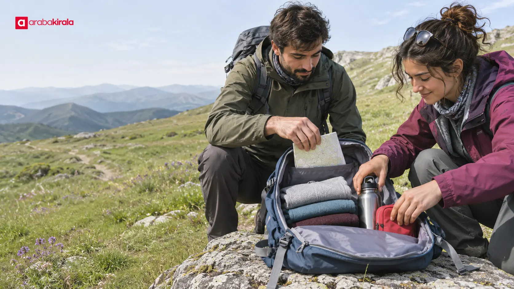
Pack drinking water, food suited to the length of the day, sun protection, personal medication, a small first-aid kit, a spare warm layer, and rain protection. The amount and equipment you need depend on route duration, group size, personal needs, and the forecast. Carrying a tool or technical item you do not know how to use is not a substitute for preparation. Keep the pack manageable and place essentials where you can reach them easily.
Update the plan when conditions change
Set three decision points: confirming access to the area, checking weather and trail conditions at the start of the walk, and deciding how much time remains for the return. If any of these checks raises a safety concern, reasonable options include shortening the outing, choosing a lower or easier route, or postponing the visit. Reaching a viewpoint does not remove the time needed for a safe return.
Thunder, strong wind, dense fog, ice, or rapidly worsening rain can make both hiking and driving difficult. In such conditions, avoid exposed ridges, open areas, and water channels; move to a safer place and follow official alerts. If an emergency occurs, describe your location as clearly as possible and use local emergency services. Do not attempt a hazardous vehicle repair or trail maneuver in difficult conditions.
Plan with the local environment in mind. Stay on marked paths, carry out your waste, keep a respectful distance from wildlife, and follow local access notices. For activities such as fires, camping, or driving into specific areas, check current rules with the responsible authority. Practices in one highland area should not be assumed to apply elsewhere.
A short checklist before you go
- Check the date and route covered by local road and access notices.
- Review the forecast on the day and leave time for the return.
- Assess the route’s distance, elevation, surface, and current condition.
- Pack water, food, layers, rain protection, personal medication, and communication essentials.
- If using a rental vehicle, confirm route suitability and service-specific details with the branch you will rent from.
In summary: Good highland trip planning starts with verified access information, then matches the route to the group’s experience and the day’s conditions. Be ready to shorten the outing if the weather changes. As a next step, check current local notices and the forecast for your destination, and clarify any branch-specific vehicle details before setting out.
Frequently Asked Questions
How can I find out whether a highland road is open?
Check current notices from the local authority responsible for the route and other relevant official bodies. Review the date and the road section covered. If the notice is missing or unclear, ask the responsible local office to confirm the status.
How should I use a weather forecast for a highland walk?
Check the forecast for the day and confirm which location and elevation it covers. Review it again before the drive and at the trailhead. If conditions are worsening, choose a shorter, lower, or more sheltered route, or postpone the walk.
What clothing should I pack for a highland hike?
Bring layers you can adjust, footwear suited to the trail, and an outer layer for wind or rain. A spare warm layer can improve comfort, especially on a longer walk or during the return journey.
How do I assess whether a hiking route is too difficult?
Consider more than distance: look at total elevation gain, gradient, surface, waymarking, estimated duration, and your group’s experience. Check that the route information is current and leave enough time to return.
What should I ask before driving a rental car to a highland area?
Ask the branch you will rent from whether the intended road suits the vehicle and whether there are route restrictions or support details to know. Check reservation-specific fuel, return, and emergency support information in your documents.
What should I do if fog or heavy rain starts during the walk?
If visibility or footing is unsafe, stop moving farther along the route. Return to a known safe point, follow official alerts, and clearly report your location if emergency help is needed. Avoid unfamiliar shortcuts.
Related Articles
- A Seasonal Botanical Garden Visit: Plant Cycles and Walking Plans
- Ihlara Valley in Spring: Weather, Walking and a Day Plan
- Sun and Walking Prep for Visiting Coastal Archaeological Sites in Summer
Sources
Legal Disclaimer: All content, articles and information on the Araba Kirala website are provided solely to inform users. No information shared on this website constitutes definitive advice or guidance. Araba Kirala Teknoloji A.Ş. and its authors cannot be held responsible for any direct or indirect damages arising from the application of information on the website. For all questions and requests regarding car rental, please contact the office from which you will rent your vehicle.
 Add ArabaKirala as a preferred source on Google