Seasonal Canyon Trip Planning: Routes, Time and Safety
Published: November 4, 2026 • Reading Time: 7 min • Last Updated: November 4, 2026 • Author: Merve B.
Plan a canyon visit around the season: choose viewpoints, estimate trail time realistically, and check weather, access and safety conditions before setting out.
Contents
- Understand the route before choosing it
- Choose viewpoints that fit the route and your aims
- Estimate trail time realistically
- Assess the season and the weather together
- Prepare for safe access
- Include the drive and return in your plan
- A final check before setting out
- Frequently Asked Questions
- Related Articles
- Sources
Seasonal canyon trip planning involves more than finding a scenic viewpoint. This guide explains how to choose viewpoints, estimate time on the trail, and check access and safety information for the season. A canyon’s location, terrain, current access status and weather all affect the plan, so do not decide from a photograph or map distance alone.
Understand the route before choosing it
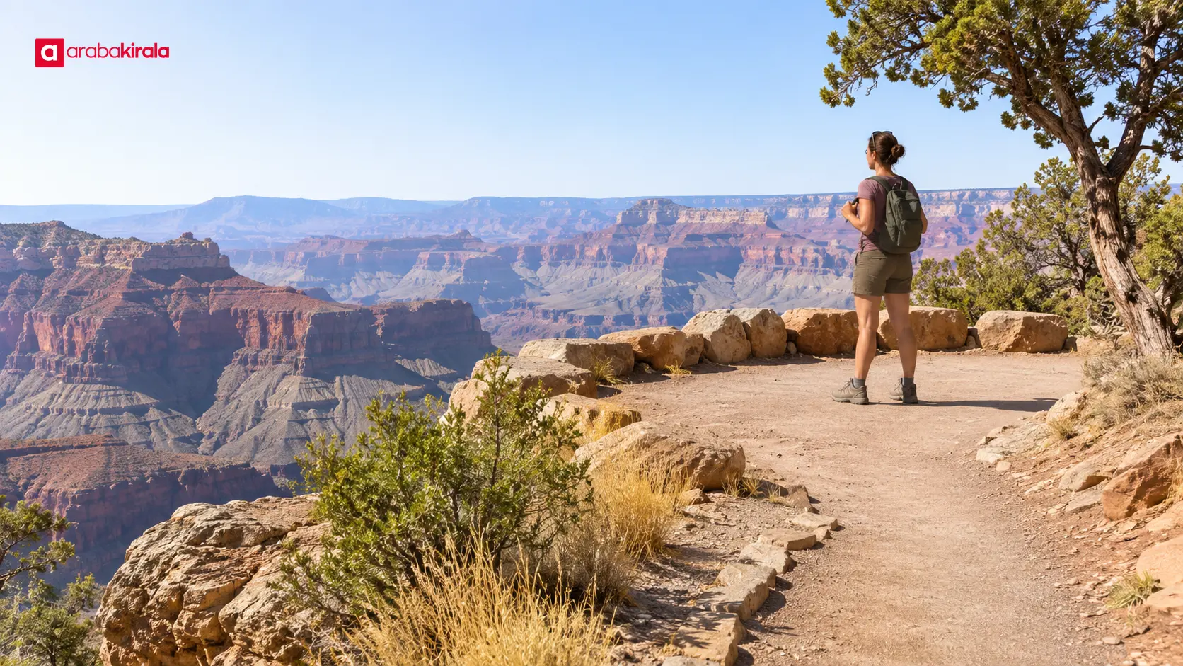
“Canyon visit” may mean a short walk to an overlook, a long valley trail, or a narrow passage that requires technical skills. These are different activities. Before you plan, find out whether the route stays on a walking trail, includes steep or rocky sections, or requires crossing water. Routes involving technical descent, climbing, ropes or stream crossings should not be treated as ordinary hikes.
Check the official park, protected-area or local authority page for access status, closures, permit requirements and current alerts. Note when the information was updated. Mapping apps can help you understand the route, but they may not show a recent closure, rockfall, trail damage or field restriction. If access information is unclear, contact the authority responsible for the area and avoid entering a route whose status you cannot confirm.
Choose viewpoints that fit the route and your aims
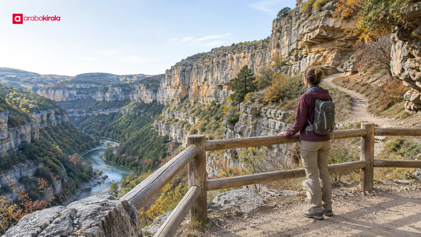
If the area has several viewpoints, do not choose only by height or popularity. Consider distance from the starting point, total ascent, surface, return options and whether the walk can be completed safely in daylight. A broad view from an accessible overlook may suit your plans better than a long, demanding descent to the canyon floor.
- Accessible overlook: Check the approach surface and slope, and keep a safe distance from exposed edges.
- Stops along a trail: If you plan several viewpoints, mark the distance between them and the route back.
- Narrow passage or canyon floor: Research water, sudden weather changes, slippery rock and exit options, and follow the area manager’s alerts.
Leaving the safe area, climbing loose rock or stepping off the path for a photograph increases fall risk. Follow barriers and closure notices. When looking for a view, stay aware of the surface, wind and other visitors around you.
Estimate trail time realistically
Map distance alone does not tell you how long a hike will take. Slope, rocky or muddy ground, temperature, group pace, breaks and photo stops all affect duration. Record the outward and return distances separately, and confirm whether the route is one-way or loops back to the same start. Do not assume the vehicle drop-off and trailhead are at the same place.
Build the estimate around the slowest person in the group and include rest stops. A map’s time estimate may assume a particular walking speed and may not reflect current field conditions. Starting near sunset leaves little room for delays and reduced visibility. Set a clear turn-back time rather than planning to finish the route in darkness.
Separate the journey into two parts: travel from the vehicle to the trailhead, then the hike itself. The final road section may be narrow, rough or seasonally closed. Do not assume that the shortest route selected by navigation is suitable. Get current local information about where to leave the vehicle, parking and the trail start.
Assess the season and the weather together
Season affects more than temperature. Daylight hours, rainfall, ground conditions and trail access can also change. Spring rain or snowmelt may affect water flow; summer heat can increase the risk of dehydration; autumn brings shorter days; and winter may bring ice or snow. These conditions vary by canyon. Elevation, aspect, local climate and the forecast for that day all matter.
Before departure, check the latest forecasts and alerts from the Turkish State Meteorological Service. Looking only at the weather at the canyon entrance may not be enough: rain in an upper watershed can affect water levels in a narrow valley. Flash flooding is a serious hazard in narrow, deep passages. If rain or thunderstorms are forecast, an alert is active, or conditions are uncertain, do not enter the canyon. Postpone the trip or choose an open, safer viewpoint.
AFAD flood guidance urges caution around stream beds and waterways. A channel that looks dry at the canyon floor is not necessarily safe. If water rises, flow strengthens or weather deteriorates, stop progressing and turn toward a safe exit. Do not attempt to cross fast-moving water or drive through floodwater.
Prepare for safe access
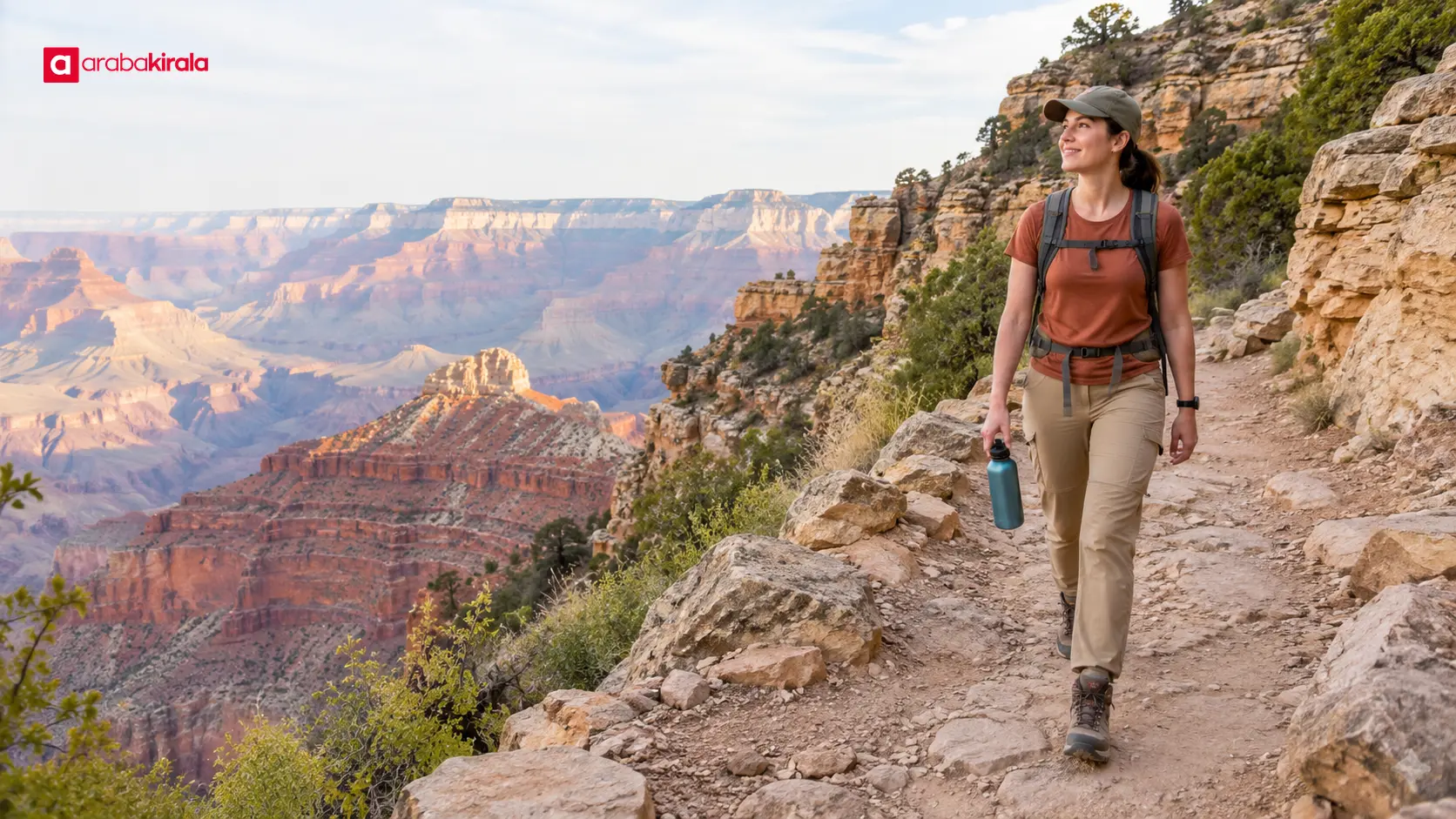
Match your preparation to the actual route. Grippy, supportive hiking footwear, clothing suited to the weather and terrain, drinking water and basic personal supplies are common parts of a walking kit. A short stroll to an overlook has different needs from a long, exposed or technical route. Plan water according to the temperature, duration and your own needs.
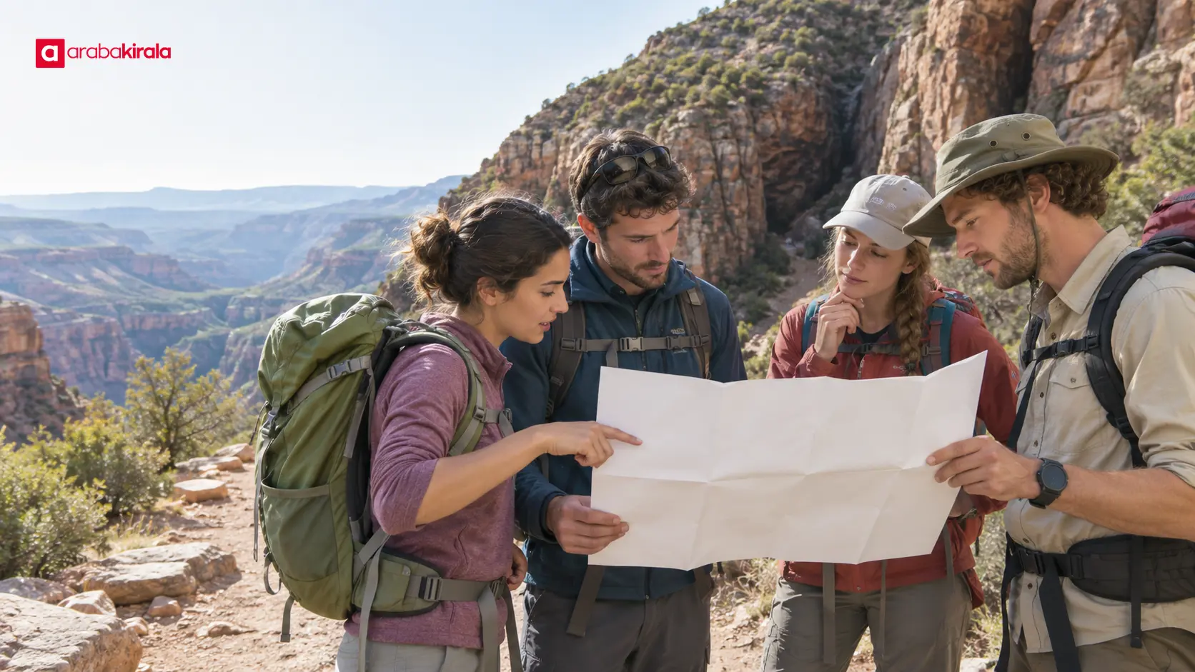
- Keep the route map available offline, and prepare for the possibility of no phone signal.
- Share your planned route and return time with someone you trust.
- Recheck the forecast and site notices immediately before leaving.
- Skip steep, wet or technical sections that do not suit the group’s fitness or equipment.
- Carry out your rubbish and avoid damaging plants, rocks or natural features.
Stay on the marked trail and make sure group members can keep track of one another. If fatigue, dizziness, excessive heat, slippery ground or unexpected water flow becomes a concern, do not insist on reaching the destination. Turning back safely is a sound response to changing conditions. In an emergency, call the local emergency number and describe your location as clearly as possible.
Include the drive and return in your plan
Reaching the trailhead matters as much as the trail itself. The final road may be unpaved, parking may be limited, or seasonal access restrictions may apply. Treat the drive and hike as separate stages. If using a rental car, ask the branch you will rent from about the road surface and relevant vehicle-use conditions before booking or collecting the car. Clarify any road restriction, special permission or access information that applies.
Leave the vehicle only in a safe, permitted place; do not block the trail entrance, and follow local parking signs. Allow time for daylight, fuel or charging, and road conditions on the return. Even when vehicle access appears possible, consider that weather may close a road or prevent driving into the hiking area. If regional public transport or a shuttle serves the area, confirm its schedule directly with the responsible operator.
A final check before setting out
Keep these details together before you leave: an open and suitable route, return distance, estimated walking and driving time, weather alerts, daylight window, trailhead, return option and a communication plan. If you change routes, check the new option’s access and difficulty too. Seasonal canyon trip planning is a decision that should be updated for the conditions on the day.
The final decision can be practical: Is the route open? Are weather and ground conditions suitable? Can the group complete the distance? Is there enough time to return? If any answer is no or uncertain, choose a shorter, safer walk or go another day. Planning the viewpoint, trail time and access together helps you reach the scenery without rushing and respond sensibly when conditions change.
Frequently Asked Questions
Which season is best for a canyon visit?
No single season is best for every canyon. Local climate, elevation, trail aspect, daylight and site notices all matter. Instead of relying on the calendar, check the forecast, rain alerts and access status for the day of your visit.
How do I estimate time on a canyon trail?
Account for the return distance, slope, surface, group pace and breaks. Add the time needed to travel from the vehicle to the trailhead separately. Treat a mapping app’s estimate as a guide, not a guarantee, and leave daylight and delay time for the return.
Is it safe to enter a canyon when rain is possible?
Rain can create a sudden flood risk in a narrow canyon or dry wash, including when it falls upstream. Do not enter if an alert is active or the weather is uncertain. Check current notices from the area authority, choose a safer alternative or postpone the trip.
Do I need special gear for an overlook walk?
Needs depend on distance, slope, surface and weather. Supportive footwear, suitable clothing, water and route information are basic preparation. Ordinary walking gear may not be adequate for a route involving technical descent, climbing or water crossings, so confirm the difficulty in advance.
Where can I check whether a canyon entrance is open?
Start with current notices from the official authority managing the area or the relevant local authority. A map app may not reflect closures or field alerts. If information is out of date, contact the responsible office and do not enter a closed or unmarked section.
Related Articles
- Seasonal Waterfall Trip Planning: Flow, Slippery Trails and Viewpoints
- Winter in Ilgaz Without Skiing: Weather and Daylight Planning
- Highland Trip Planning: Roads, Weather and Hiking Preparation
Sources
- Turkish State Meteorological Service: Forecasts
- AFAD: Floods
- National Park Service: Canyoneering Safety
Legal Disclaimer: All content, articles and information on the Araba Kirala website are provided solely to inform users. No information shared on this website constitutes definitive advice or guidance. Araba Kirala Teknoloji A.Ş. and its authors cannot be held responsible for any direct or indirect damages arising from the application of information on the website. For all questions and requests regarding car rental, please contact the office from which you will rent your vehicle.
 Add ArabaKirala as a preferred source on Google